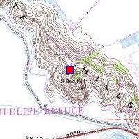
SF-37C Coyote Hills SN 37.54056°, W 122.08312°, elevation 242 feet |
|
SF-37C Coyote Hills SN 37.54056°, W 122.08312°, elevation 242 feet |
|
At the top of the south hill in Coyote Hills Regional Park.
Now used for radio communication towers.
Take Newark Blvd. to Patterson Ranch Road, park at the visitor
center, and hike a mile or so south along the Nike road.
You can circumnavigate the fence in about twenty minutes and get
some good views of the inside.
And if you're brave, on the back side there's a hole in the fence.


