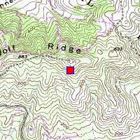
SF-88C Wolf RidgeN 37.84197°, W 122.53218°, elevation 910 feet |
|
SF-88C Wolf RidgeN 37.84197°, W 122.53218°, elevation 910 feet |
|
The IFC is in pretty good shape, with all its buildings and steel
radar platforms still standing.
Access: a steep hike up from either Fort Cronkhite or Tennessee Valley.


