
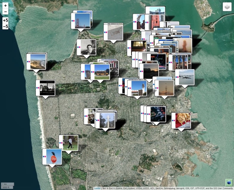
 A long time ago, ACME Mapper could be used to display Flickr photos
taken in the area shown.
That capability broke when Google switched their map API from
version 2 to version 3, and I never got around to fixing it.
Well I just got it working in the new Leaflet version.
To use it, bring up the Options panel and click the Flickr
checkbox at the bottom.
It's much easier and faster than Flickr's own map system.
A long time ago, ACME Mapper could be used to display Flickr photos
taken in the area shown.
That capability broke when Google switched their map API from
version 2 to version 3, and I never got around to fixing it.
Well I just got it working in the new Leaflet version.
To use it, bring up the Options panel and click the Flickr
checkbox at the bottom.
It's much easier and faster than Flickr's own map system.
